
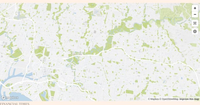
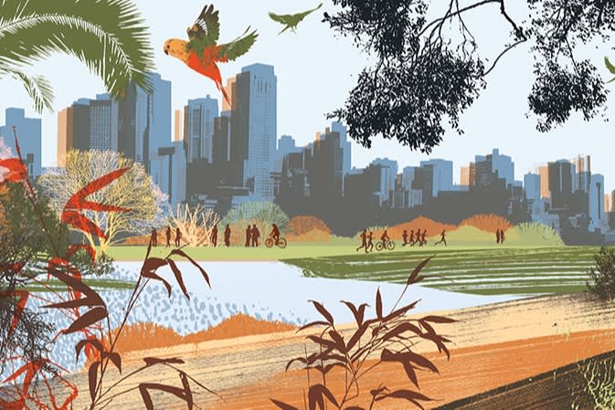
Wonderful waterways: two routes along Melbourne’s Yarra river
Don’t lock yourself inside a gym. A great way to get some exercise while also exploring Melbourne is to walk, run or cycle along the city’s most important river, the Yarra.
Flowing 240km from clean mountain ranges and farming land before emptying into Port Phillip Bay in the heart of the city, the Yarra was long neglected before being cleaned up and newly appreciated this century. These days, it is lined with walking paths and highly valued as a peaceful green ribbon that brings wildlife into the heart of the metropolitan region.
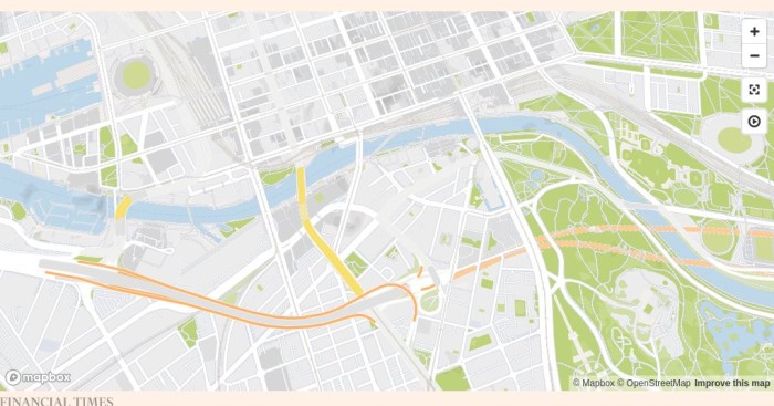
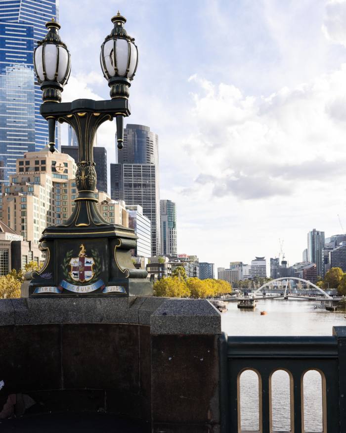
This city-centre route loops around the Yarra by crossing over two bridges and can be walked in just over 95 minutes, unless you dawdle to take in the history, art and restaurants.
You will quickly pass a floating cocktail bar, the Arbory Afloat, which has its own swimming pool and lounge chairs (it’s open until June, then closes for winter). Next on your left is the Evan Walker footbridge, named after the architect and politician who led the 1990s conversion of what was a dour industrial zone into the lively Southbank commercial and entertainment district that now looms above you across the river. The bridge has an open-air bar and restaurant at its base in the middle of the river, Ponyfish Island.
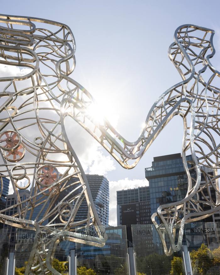
Next comes the Sandridge Bridge, a historic rail bridge that has been pedestrianised and lined with large metal sculptures, and on your right is Banana Alley, a row of red-brick railway vaults named after their 1890s role as warehouses for fruit and produce. Passing Queens Bridge, you enter Enterprize Park, the site of the first landing by Europeans, on August 30 1835, from the schooner Enterprize. The ship left behind a party of seven settlers when it returned to what is now Tasmania. The only woman, Mary Gilbert, gave birth four months later to the city’s first European baby, James Melbourne Gilbert.
At that time, there was a basalt ridge here forming a beautiful waterfall that was shallow enough for indigenous people to cross the river, at the meeting of freshwater from upstream and the saltwater of the bay. The waterfall was blasted away in 1883 to expand a turning basin for ships. Across Flinders Street to your right is the original Customs House that oversaw the port and is now the Immigration Museum.
Stick to the water’s edge and you will see traces of the port’s working history with a preserved crane on the North Wharf docks, which date from 1855. Go past Jim Stynes Bridge and cross the river on the smaller Webb Bridge, which is designed to resemble an an eel-net used by the original inhabitants, with a steel lattice covering part of the bridge as it winds around. This is the last bridge before the river feeds into the working port and Docklands district, and as you cross you can look down at the Yarra’s Edge Marina for large private craft.
Turning left to head back along South Wharf, you will pass the restored Polly Woodside clipper, the Maritime Heritage Museum and a row of restaurants and bars (The Boatbuilders Yard café is strong on vegetarian options).
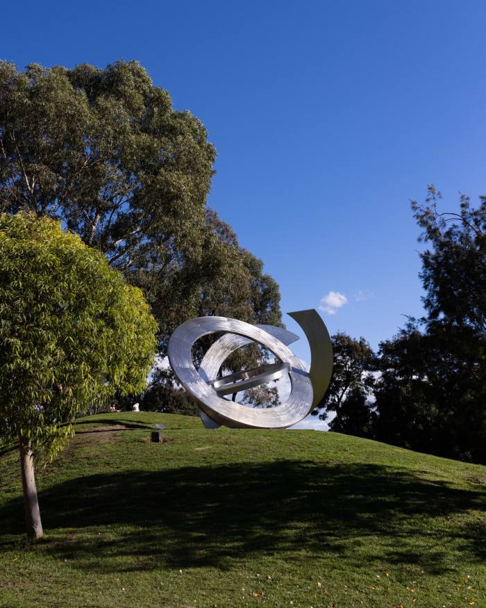
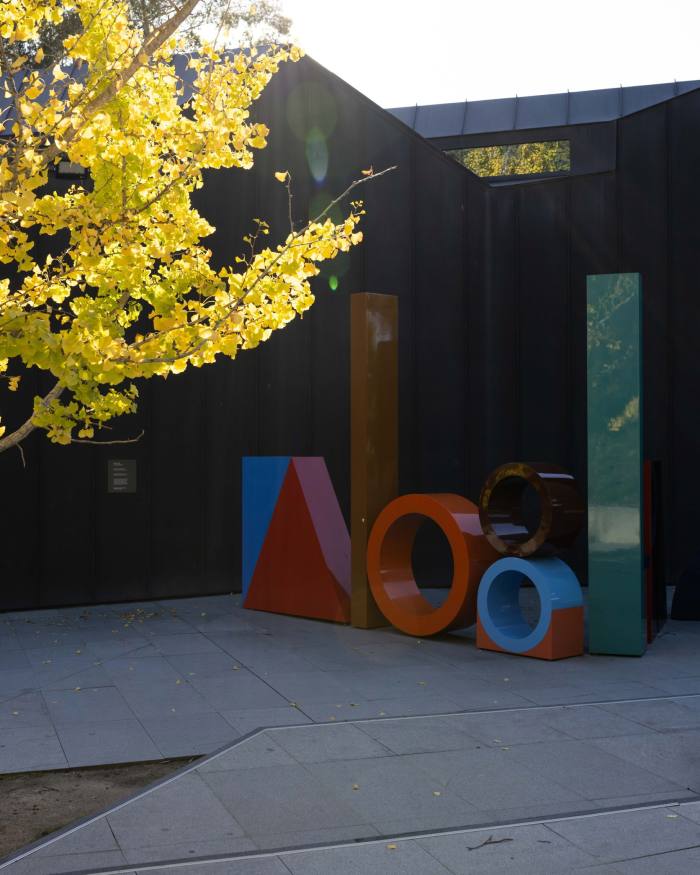
The Crown Casino complex and a row of eateries dominate the waterfront. Just before Princes Bridge is the Hamer Hall music venue, which leads to the State Theatre and the National Gallery of Victoria, the nation’s finest international collection.
Go under the bridge and you will pass a strip of rowing sheds, behind which is a sprawl of green spaces highlighted by the Royal Botanic Gardens, dating back to 1846, and the Sidney Myer Music Bowl, which drew an Australian record of 200,000 people for the 1967 homecoming concert of The Seekers.
A running, walking or cycling expedition will take you from the city centre through a stunning spread of bush and park settings that go a long way to explaining why Melbourne is often rated among the most liveable cities in the world. Along the way you will see leafy suburbs, endless parks and sports grounds and riverside cafés and restaurants that contribute to an enviable quality of life reaching well beyond the most exclusive neighbourhoods.
This route is highly flexible as public transport allows you to start or end wherever you like, with no danger of being stranded if your legs or lungs give out.
More ambitious cyclists can make it a 74km return journey, but it is easier to ride out from here and take a 45-minute train ride back from Eltham station to Flinders Street. Bikes can be carried free on metropolitan trains, but only folding bikes with small wheels can be taken on buses.
Another option is to tackle a smaller section of the route by getting on the Hurstbridge line towards Eltham at Flinders Street, as any station will leave you a short distance from the trail.
Starting at Flinders Street station, cross Swanston Street and then go down the ramp on to the northern bank of the Yarra, heading east towards the spotlights of the Melbourne Cricket Ground and following signs for the route called the Main Yarra Trail.
Stick to the left side of the path as cyclists will overtake on your right side. Dogs must be on a leash. The path ahead is flat and mainly paved, with a few compacted gravel sections further upriver, but it is always well maintained. It is well signed and a smartphone can help with any confusion.
Just before you reach the Swan Street Bridge, you will see an excellent free bike-repair station that allows cyclists to pump up their tyres or deal with any maintenance problems.
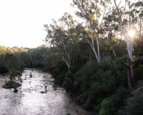
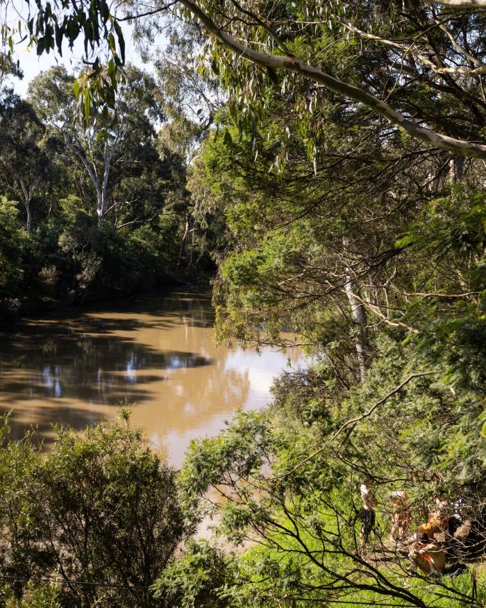
It is soon hard to believe that you are in a city of more than five million, as the trail is a green corridor for native animals and plants through residential suburbs, with eucalypt bushland linking natural reserves before eventually reaching open forests. It draws runners and serious cyclists, as well as strolling visitors and even commuters on bikes.
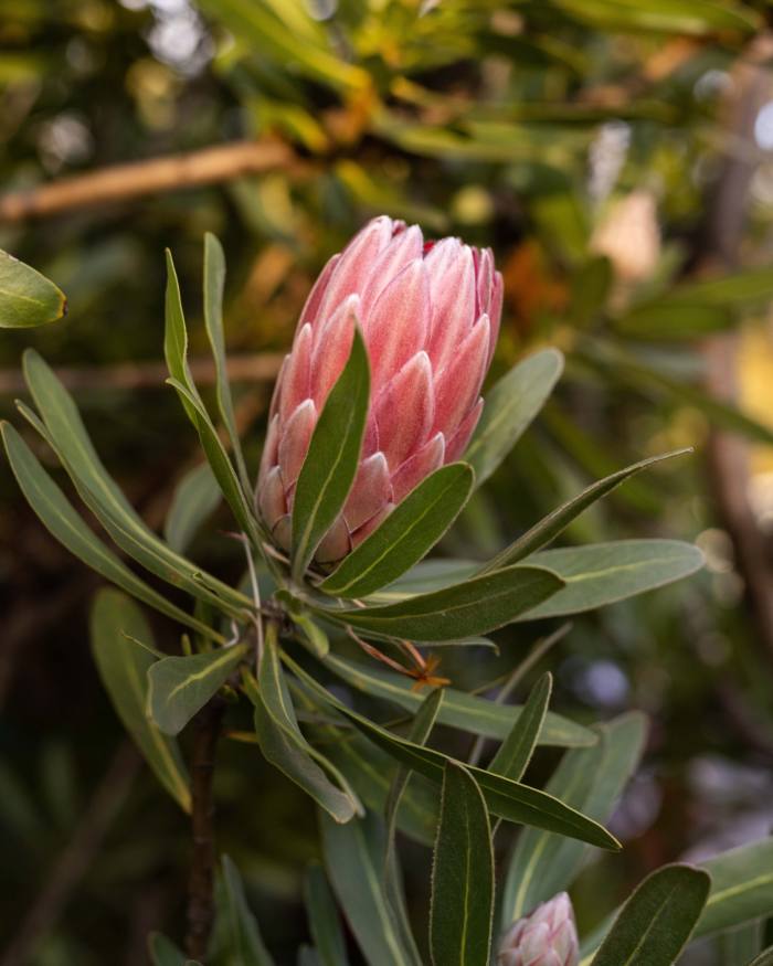
Keep an eye out for rainbow lorikeets, yellow-tailed black cockatoos and red-rumped parrots. There will be magpie cries, and a noisy flapping of wings will probably be a bronzewing pigeon. Water rats hide near the river, and there are plenty of brushtail and ringtail possums among the river red gums, with dusk views of flying fox migrations.
Just over 11km on you will reach Yarra Bend Park, where 12km of the river and a maze of small ponds or billabongs wander through inner Melbourne’s largest intact spread of natural bushland — a very popular spot on weekends because of attractions such as Dights Falls and the Deep Rock Swimming Hole.
After passing through a tunnel under Manningham Road, the trail turns left but you can add a detour off the Main Yarra Trail to the Heide Museum of Modern Art and restaurant. Ibises are often spotted in the surrounding Banksia Park. There’s heritage signage exploring the park’s history and its Aboriginal sites, as well as an artists’ trail with signs depicting early paintings of this same countryside.
Backtracking to the Main Yarra Trail, head north once again and you will soon reach a sign saying “Templestowe 7km, Burke Road 4km”. Here you can leave the trail to the left for the bustling Burgundy Street shopping strip and perhaps a break at the Old England Hotel pub. You are now just over halfway along the route, and Heidelberg train station is a few hundred metres along Burgundy Street if you want to retreat to the city.
The trail passes a steady progression of sports clubs and wetlands, with plenty of grazing horses and ponies and sweeping views back towards the city.
The smooth concrete trail turns to gravel at the Banyule Tennis Club, where you should turn right and pass the Banyule Cattleyards and its open-air display of 19th-century farm equipment. You have a good chance of seeing kangaroos in the open fields to your left, before rejoining the Main Yarra Trail after the Banyule wetlands on your left.
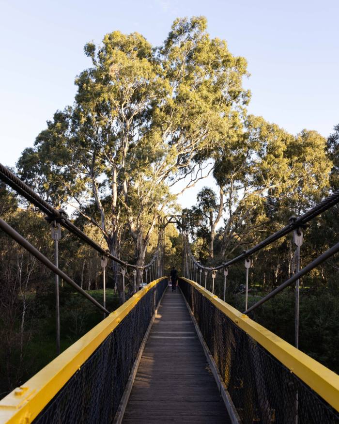
Soon after passing the junction of the Yarra and Plenty rivers near the Rosanna golf course, you will reach the Bonds Road sign, and 250m later you can take a break by turning right across the Ruffey Trail Suspension Bridge into Finns Reserve.
The reserve has more signs explaining local art history, a historic farming shed and a free bike-repair station. But the main attraction here is more decadent, because if you go 500m along the Ruffey Creek Trail you come across Melissa, an eatery with all-day food and a tempting spread of cakes to undo all your good work.
Further along are the Templestowe shops and several eateries including Carlucci’s for Italian food or takeaway sandwiches.
Head back across the Ruffey footbridge, and the Main Yarra Trail takes you into a large reserve called Westerfolds Park. Keep an eye out for a pair of Australia’s largest birds of prey, dark-brown wedge-tailed eagles, which often soar slowly along this part of the valley, scouring the bush. You might also spot echidnas and, more rarely, deer.
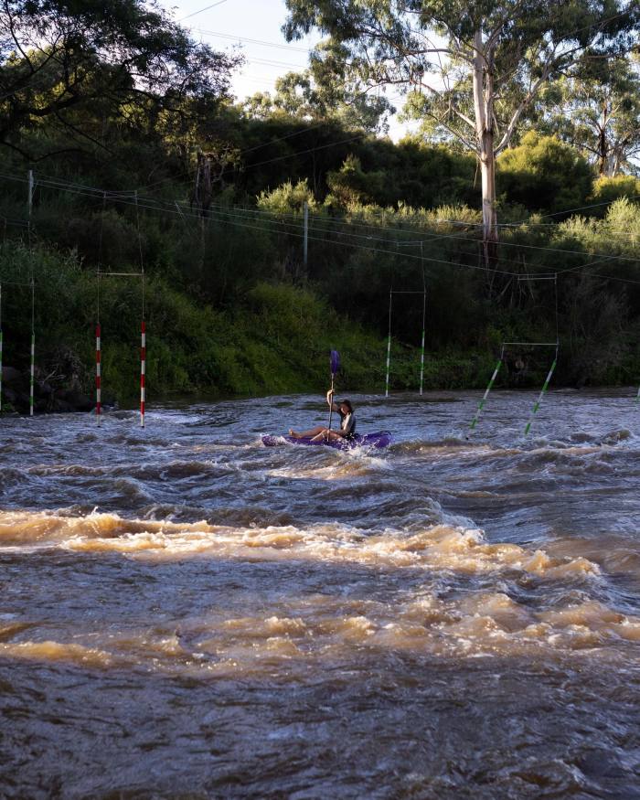
The river here turns to rapids lively enough to support a kayak-training facility on your left.
A few hundred metres after passing under Fitzsimons Lane, the Yarra Trail has the Diamond Creek Trail branching off to the left for a further 4km of parks and bushland to Eltham railway station, where you can grab a train back to the city.
Another option of about the same length is to ignore the Diamond Creek Trail and continue on the Yarra Trail, which leads to the Mullum Mullum Trail and the popular Beasley’s Tea House, serving food every day from 8am to 5pm. For those on foot, the number 905 and 906 buses return from there to Flinders Street in about an hour.
Share your favourite Melbourne walks in the comments below. And follow FT Globetrotter on Instagram at @FTGlobetrotter
Cities with the FT
FT Globetrotter, our insider guides to some of the world’s greatest cities, offers expert advice on eating and drinking, exercise, art and culture — and much more
Find us in Melbourne, Hong Kong, Tokyo, New York, London, Paris, Rome, Frankfurt, Singapore, Miami, Toronto, Madrid and Copenhagen
This story originally appeared on: Financial Times - Author:Peter Wilson


